Banos – Face Your Fears

While we were volunteering in Runtun, most afternoons were spent exploring the area around Banos. We indulged in hikes and some extreme sport as well. As Jopi, a friend we met while volunteering, said, Banos is a place to face your fears. And we did!

Condor del Vuelo
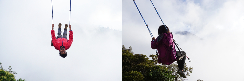
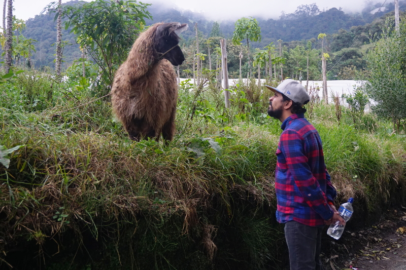
Condor del Vuelo, BanosBaños has sort of become famous for swings at the edge of mountains. Condor del Vuelo was one such place with two huge swings at the edge of the mountain. The cost was too high, $5 for small swing and $10 for big one, but we enjoyed seeing the llamas and taking photos with them. Touristy but cute!

Condor del Vuelo, Banos


Casa de Arbol

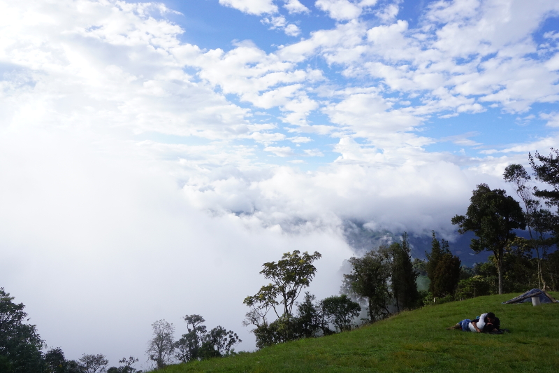
Casa de Arbol is a famous fun park on the mountain above Baños. It is famous for swinging ‘at the end of the world’ with the Volcano Tungurahua in the background. In fact a photo taken here won a National Geographic Contest and it has become famous since then. It was 3.5 km uphill walk from our volunteer home. Turned out to be a very scenic and free walk up, while tour agencies charge $5 per person to take tourists.

Tip: It would be more economically to share a taxi with 4 or 5 persons (yes 5 passengers) to Casa de Arbol from Banos.

Hike to Casa de Arbol, Banos

Upon arriving, we realised that the park was not very big. The entry fee was $1 per person and once you enter, there was plenty to do. We got there on a cloudy day but that wasn’t too bad. There are few playgrounds around, including a zip line! People can easily kill couple of hours here.

Casa de Arbol, Banos

The ‘swing at the end of the world’ had a short line of tourists waiting before us. We both took turns on the swing and it did feel like I would fall down the mountain at first. We also learnt about Tungurahua the volcano, it’s eruptions and how the owner of Casa de Arbol is constantly monitoring the volcanic activities. It was a great half day event, a certain must do in Baños!

Casa de Arbol, Banos

Hiking Down to Baños

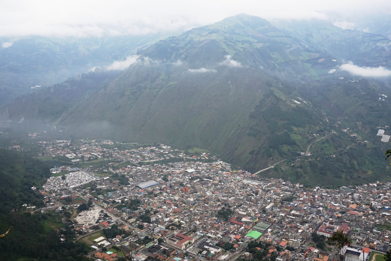
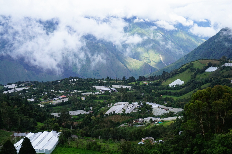
As you know by now that we were living a few kilometres above Baños. To get down to Baños, we had a couple of choices – hitchhiking, taxi and walking down the trails. We tried the first a couple of times and when it didn’t work we simply walked down. The great thing about that was the view of Baños and walking through farms and forests. Cafe Del Cielo was a cafe and a hotel along the trail with spectacular views of Baños. And when we wanted to get back to the top, we taxi-ed it. Easy!

Banos

Biking

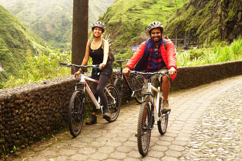
Shruti, Jopi and I decided to go biking on a free day. We hiked down to Banos, via Bela Vista (another incredible view), and went shopping around for bikes. The price ranges from $5 for dodgy bikes to $15 for extra large bikes. We settled on $7 bikes given the quality and the price.

The main biking route from Baños goes almost downhill towards Puyo but veers off to the older more picturesque road for 22 km until the town of Rio Negro which is also home to the final waterfall Pailon del Diablo. The shop owner gave us a map, 1 lock and a chain for security and we were off. The ride was smooth except for the cars, buses and trucks whizzing past. To be fair, cyclists riding from Baños to Rio Negro are a frequent sight and motorists are very careful. The view is also incredible with the mountains, rivers and waterfalls all along the way. The altitude drops 400 metres along the way and it gets quite hot by the finish.

Biking from Banos

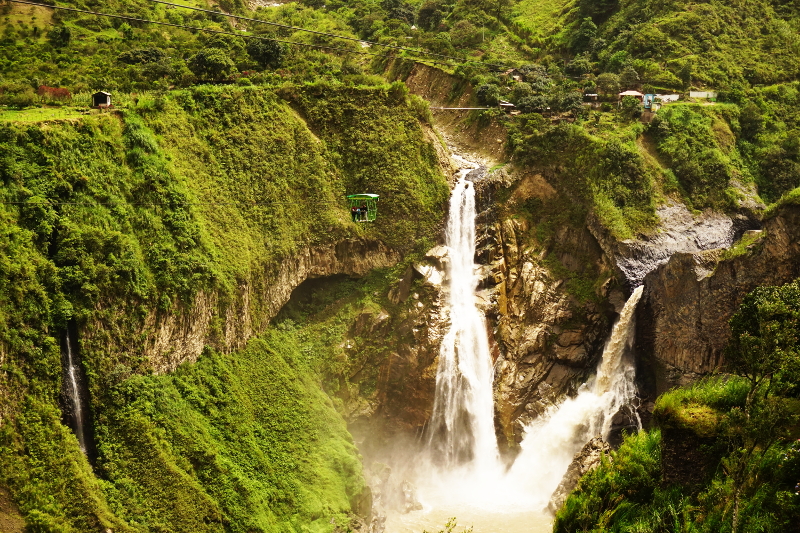
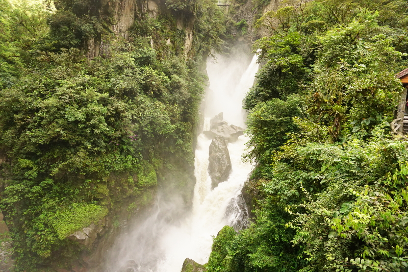
Our first waterfall was incredible, the River Pastaza drops down and is joined by another stream from the mountains. The sight was incredible and we stopped there for 10 minutes.

River Pastaza waterfall, Biking from Banos

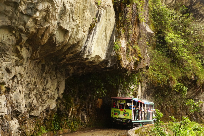
After the first waterfall and the first tunnel, the cycle lane veers off to the old road which is only used by cyclists and chivas, a truck turned into a bus with music and a guide for tourists. The mountains at this starting point is breathtaking. A real gem of a place!

Biking from Banos

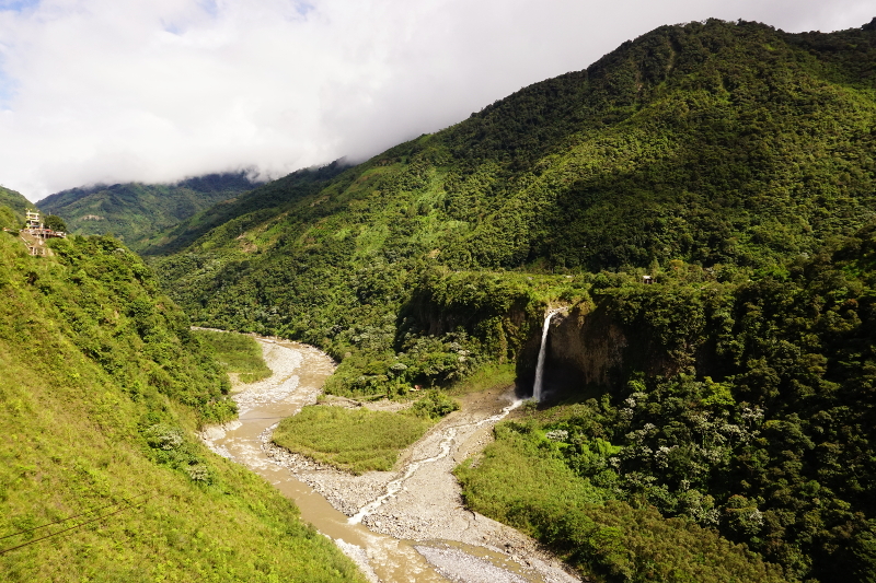
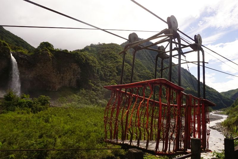
There are meant to be 7 waterfalls but either the guide didn’t inform us right or we didn’t follow right because we went from 1st waterfall to the 2nd and then straight away the 6th waterfall on the map. The 2nd waterfall wasn’t much and we didn’t stop there. The 6th, Manto de la Novia, was beautiful and we decided to take the cable car down. It was $1 per person for the cable car and a further $1 to get into the community and get extremely close to the waterfall. We only went down, crossed the bridge and took all the photos we needed.

Manto de la Novia, Biking from Banos

This cable car was a makeshift job – it was a metal cage and the operator would start the engine once the doors were locked. On return, the operator started the machine again to bring you back up. After the photos, we got back in the cage and waited and waited some more. For 5 mins, we whistled, clapped and yelled to no avail. We all thought we would be stuck at the bottom of a mountain forever. It wasn’t a bad place to be stuck but we had to get to the next waterfall. Finally the operator got back from doing an errand and we came up. Phew!

Manto de la Novia, Biking from Banos

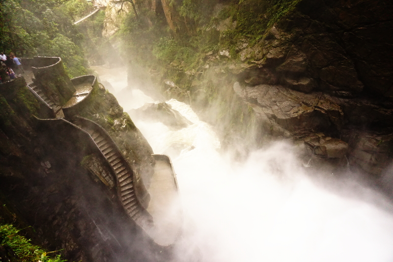
Another 20 minutes ride and we reached the end of the trail. We parked our bikes and hiked down to Pailon del Diablo. Even before we got there, we could hear it roar but we only realised how big the waterfall was when we got closer. The waterfall was on a private property(!!) and the owners had created a cafe and an amazing viewing point for the waterfall. The whole thing seemed unreal as the whole river descended down 5 stories. To make it better, the stairs, the undercliff walk and viewing point made it look like a part of a fantasy film.

Pailon del Diablo, Biking from Banos

At one point, I tried to descend down the stairs to pose for a picture but got hit by a wall of water which was just a splash from the waterfall. It was unreal!

Maybe it was the perfect time of the year as the water was at it highest but Pailon del Diablo is the best waterfall we saw. Period. There was no point stopping for other waterfalls along the way.

Pailon del Diablo, Biking from Banos

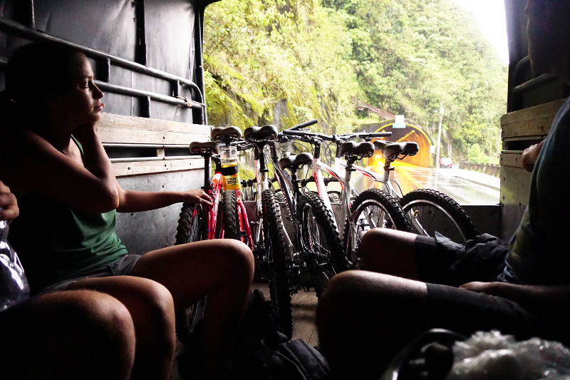
At the end, we took a collectivo for $2 each which transported us and the bikes back up to baños. A great day!

Biking from Banos

Water Rafting

My first water rafting experience was in River Ganga, India but Shruti had never done it before. Baños seemed like the perfect place for it. Again, the three of us went down to Baños and booked ourselves in for a rafting trip. The cost was $25 and the rafting company picked us up from the shop at 1:30pm. It was a little strange as we kept picking up people in the van from all different companies. It seemed like all tour agencies used a few rafting operators. The operator seemed a bit roughshod as the wet suits were torn, shoes were not the right size and they were all in a hurry. However, it was still safer than when I did rafting in India so we didn’t complain.

Finally, we started driving to the river and reached there in an hour or so. At first glance, the river was fast and Jopi was extremely scared about falling out of the boat. We got our wetsuits on and were split into two groups, one English and one Spanish. Jopi being a Chilean and a native Spanish speaker was in the Spanish group. We received our tutorial on commands and instructions for safety. As we readied to go, it was decided that Jopi’s group would avoid some rapids while our more experienced and more adventurous group would go right through them. A wild ride!

Water Rafting, Banos

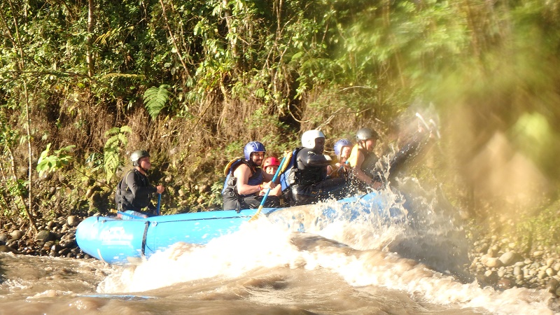
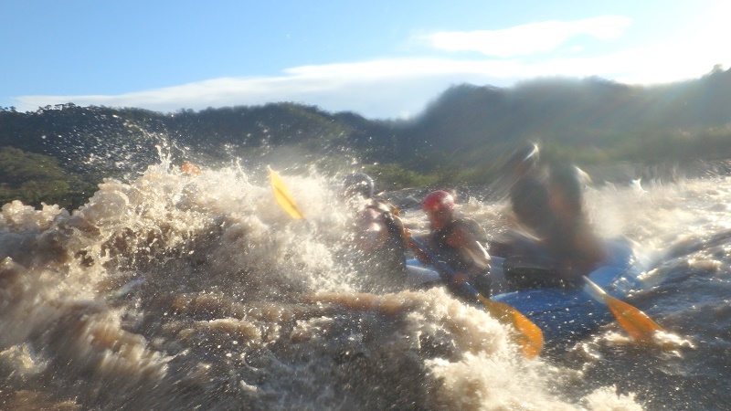
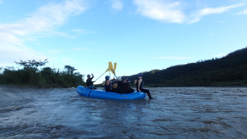
To mark our groups personality, the guide gave us the name “CuyLeon” meaning Guinea Pig Lion in Spanish. We faced our first rapid soon after we left the riverbank. It was a big rapid, a 3 in scale. We followed the instruction right to the tee and came out of it easy. We all screamed ‘CuyLeon’ and hit our paddles together in celebration.

Water Rafting, Banos

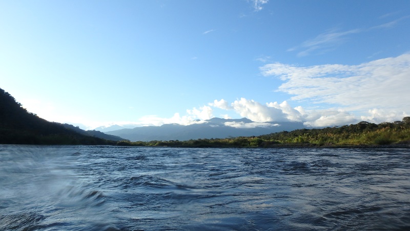
We went through some more small rapids without an issue and came to a calm patch of the river. The mountains were behind us and everything in front of us was the Amazon Jungle and we floated on river Rastaza. An amazing view!

Water Rafting, Banos

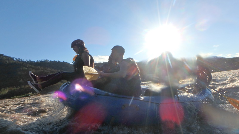
At this stage, the guide’s girlfriend got very adventurous and moved to the front of the raft, sitting on the edge holding the rope. We went through several more rapids. We paddled hard each time and were out of danger quickly. A few of us swapped our places for the front. My turn came after 90% of the rafting was done. I was sitting at the front enjoying the view when we approached a massive rapid. All of a sudden, I was under water. Disaster! The raft had flipped.

Water Rafting, Banos

The next series of events happened so fast that its impossible to put time to it. At first, I was trying to stay afloat but we were in a rapid. The wave kept hitting me from the back of my head, submerging me very often. The next thing I was trying to grab on to something which happened to be another guy from the raft. Both of us managed to grab the flipped raft as used it as a float. Shruti then started screaming at us to float on our backs and let go of the raft. The safety canoe came by and I held on the front while two others were trying to grabbed it from the back. There was too much weight on the canoe and the canoe flipped too! *panic* We had to let it go but we were getting very close to the wall of the river with the rapid pushing us towards it. We tried swimming away and eventually the rapid ended and Jopi’s raft rescued us.

The whole episode was over under 1 minute but it seemed like a lifetime. It took a few mins to recover and get back on our raft. It was a scary and loving moment for us too. Shruti knew I couldn’t swim well so was scared for me and for my part I hadn’t seen her since the canoe flipped. I was worried and looking for her as I was rescued by the other raft. At the end, we hugged and kissed knowing we had survived a scary moment. What doesn’t kill you makes you stronger! Definitely something we won’t be telling our kids for a while.
Water Rafting, Banos

Volunteering in Runtun

Our experience in Quito wasn’t good due to the laptop theft and Peru Visa denial and the only thing we were looking forward to was volunteering in Runtun. When we were in Guatape, we looked up a few options for volunteering in Ecuador on www.workaway.info and the family and task in Runtun seemed the most interesting.

Getting to Runtun

We arrived on Tuesday afternoon from Chugchilan. We had to change buses at Ambato for Banos and then eventually take a cab to Runtun. What we hadn’t realised was that Runtun was on the mountain while Banos is settled in a valley. Actually to be precise, Runtun is on the north-east side of Tungurahua Volcano – one of the active volcanoes in Ecuador.

Tungurahua Volcano, Banos

The Family

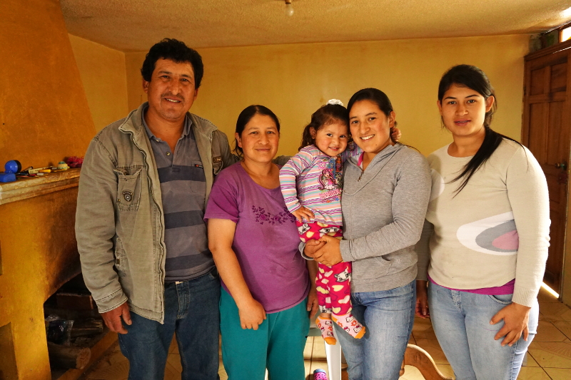
The house we stayed at belonged to our host, Monica’s parents, while she stayed with her husband, Holger and daughter, Emily 100 meters away. The family members were very close to one another. In fact, Monica’s mum, Alba, looked after Emily most hours of the day while Monica was away working.

Family in Runtun

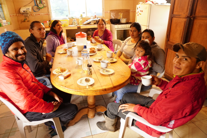
Every family member was really warm towards us. We enjoyed every meal together and had various conversations in Spanish. Most times Shruti would try and guess the topic of conversation and say her bit in English which I went on to translate for everyone. Though she did enjoy conversing with Emily! Both of them did not understand each other :)

Family in Runtun

The meals served were vegetarian, making it easy for Shruti! We enjoyed corn in various forms, variety of juices, lentils and beans and range of vegetables. Lunches and dinners usually had a mix soup and rice, salad and dessert. For once we were actually eating healthy!

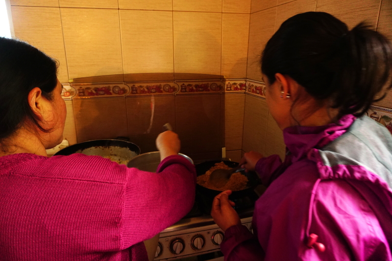
On our final day, Shruti offered to prepare halwa, an Indian dish for everyone. To our surprise everyone seemed to enjoy it. Though back in India it is usually eaten along a puri, deep fried bread, most people around the table enjoyed it with a wholemeal bread instead. So close!

Cooking halwa in Runtun

The Work

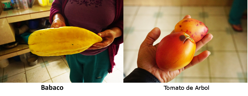
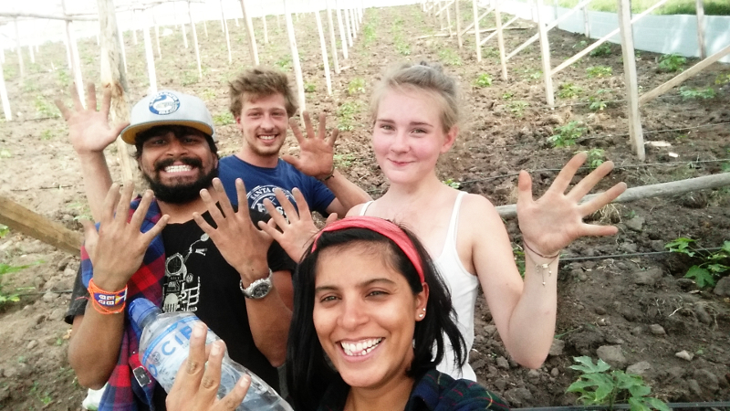
Most of the work we did during our time there was on farms. The initial 2 days we were weeding the Babaco plantation while the remaining days we focused on weeding at Tomate de Arbol plantation. Babaco is a star shaped papaya look alike fruit, while Tomate de Arbol is an oval shaped tomato fruit.

Babaco and Tomato de Arbol, Ecuador


The work at the farms was labourious and sometimes physically exerting. But the huge portions of lunches and good night sleep were really comforting.

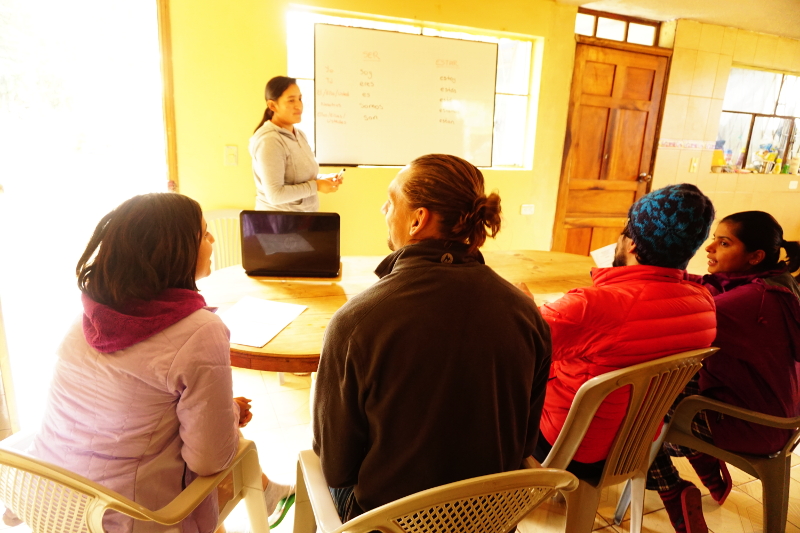
Working at babaco farm in RuntunOn our final days we also helped Monica setup a WordPress site for her spanish school and volunteering at farm. She is a great teacher and we highly recommend you to come stay with her and her family for an authentic experience.

Spanish school, Runtun

The View

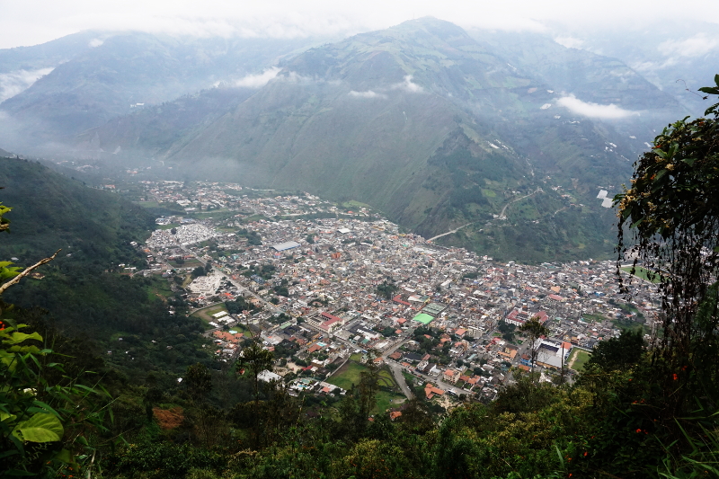
We had the afternoons free so we went on to rest on certain days and explore activities in and around Banos on few days. Read all about it in the next post.

Banos view from mountain

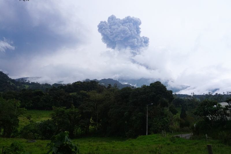
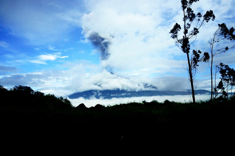
The greatest thing about the location was the view of the Tungurahua Volcano. We could it ‘boom’ and see the ash cloud on clear days. In fact on the first night I woke up the a loud sound and shaking windows. The experience of living close to an active volcano is close to none, but as the locals carry on with their daily lives, towards the tail end of our time there, we would just check the sky twice thrice a day for a peek at the mighty volcano.

Tungurahua Volcano, Banos

5 Days in Chugchilan

Chugchilan is a picturesque little village on the Quilotoa loop. While we didn’t do the loop, read the post for our reasons, we ended up having a lot of fun hiking, horse riding and enjoying the scenery around.

Getting to Chugchilan

Chugchilan is a little village in the Cotopaxi province of Ecuador close to the Quilotoa Crater and lake. To get to Chugchilan, we boarded from Quito to Latacunga, where we had to change buses. There are 2 buses per day at 11:30am and 2:30pm. As it happened, we arrived in Latacunga on a Thursday which happens to be a market day in the region. Hence, we had to first take a bus to Sigchos at 10:30am and then change for a bus to Chugchilan at 1pm.

Sigchos, Cotapaxi Region

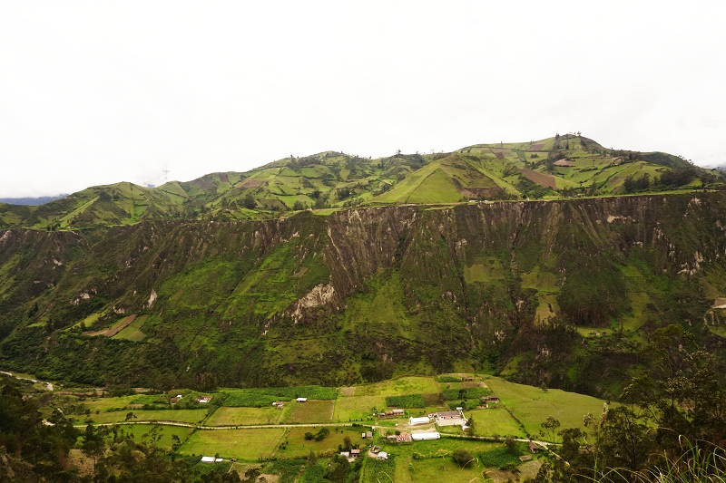
The ride from Sigchos was very scenic as the bus travels along a canyon. Moreover, you see village life going past as villagers and school kids are  traveling home. It really captures your heart when a tiny native lady gets off a bus at her house and her two dogs jump on her in excitement. On the contrary, it also shows the challenges of living on a mountain when a bunch of school kids get off on the side of a trail and their house is a 100 metres above the road.

Sigchos to Chugchilan

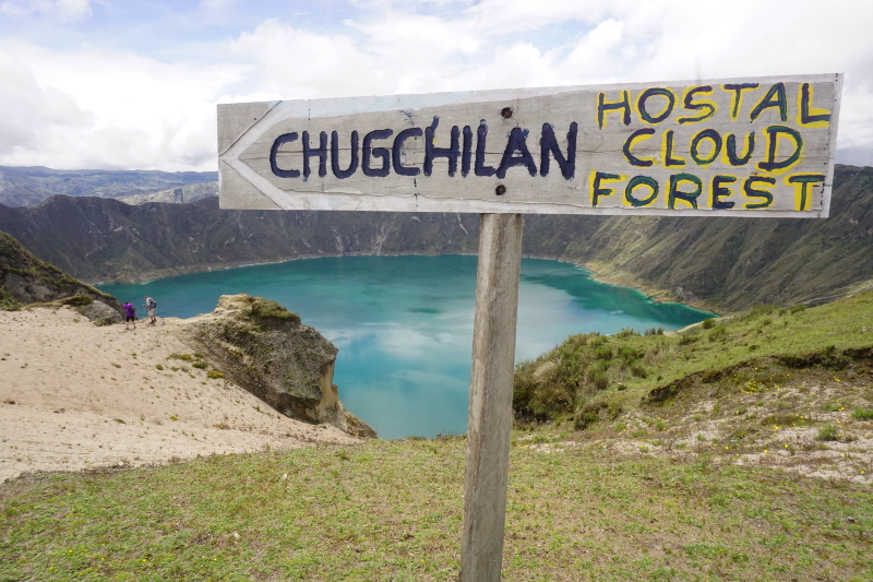
Cloud Forest Hostal

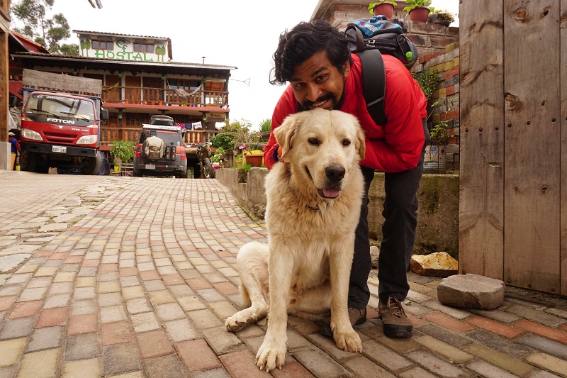
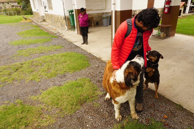
We had looked at our options and decided on Hostal Cloud Forest. The cost was $15 per person including breakfast and dinner. The price and the food sounded great but it got even better when we arrived. For $30 per night, we were able to get a private room, double bed, food and an amazing view. The prices of laundry, water and drinks were very cheap given the context of the location. Also, the hostel has a massive dog, which is actually a beast, called Max. He entertained us quite a bit.

Max, Cloud Forest Hostal, Chugchilan

In addition, the owner Jose was like a father looking after his kids. Each night during dinner, he would come and ask “Hola Chicos! Qué van a hacer mañana?”, “Hi people! What are you going to do tomorrow? “. Once you told him what you were thinking, he would get a map and explain in detail how to go about doing the trek. As a final goodbye, he even ended up giving us a lift to Latacunga saving us time and money. Great guy!

Rio Tachi Canyon Hike

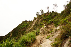
Rio Tachi Canyon Hike, ChugchilanOur first hike in the area was the Rio Tachi Canyon. With Jose’s map and directions in hand, we headed for the villages of Chinalo and Itualo which were a 40 minute descent from Chugchilan. The first trail was easy to find and relatively easy to hike down. The second trail was a tough descent downhill (who would have thought?). Once at the village of Itualo, we had to hike down to the river.

Rio Tachi Canyon, Chugchilan

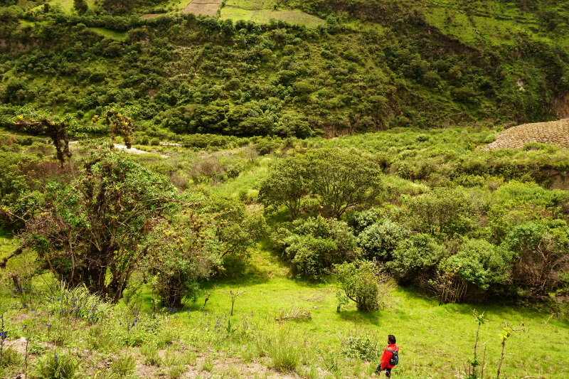
The trail so far had not been signposted and neither was the trail from here. Though we tried to find Jose’s directions, we could not for long and hiked down farms and formed our own trail to the river. The view from River Tachi in all directions was stunning. We walked along the river for half an hour before getting to a rope bridge. It didn’t lead anywhere but we had fun trying to walk it.

Rio Tachi Canyon, Chugchilan

Our final stop was meant to be the log bridge further ahead on the river but the rain came in as we left the rope bridge. We decided to turn back and head back up the mountain. It was a tough climb as we hiked vertically up the canyon. The sun, rain and clouds appeared one after another as the view got better as we went higher. The sight up the canyon was well worth the hike. A great day of hiking!

Rio Tachi Canyon Hike, Chugchilan

Before we finished we stopped at Don Bosco, an artesania which is Spanish for artists workshop. A church opened this to help the poor and we were introduced inside by a gentleman who looked like he had issues walking. The “art” was all wooden furniture and we had to sadly say no to buying anything. However, for us the highlight was a pair of huge St Bernard dogs in the premises. First, the boy ambushed us with his cuteness and later, his other half who was locked inside the museum overwhelmed us. Together, they managed to make us happy but drooled all over us. A day well spent!

Don Bosco, Chugchilan

Quilotoa Lake

One of the highlights of the region is the Quilotoa Lake. It was the main purpose we were in the area. We took the 6am bus from Chugchilan to Quilotoa. At that early hour the bus was full of old and young native people. There was only standing room available as it was one of the few buses in the area everyday. At 6:45am, the bus dropped us at Quilotoa town and the conductor pointed us to the lake.
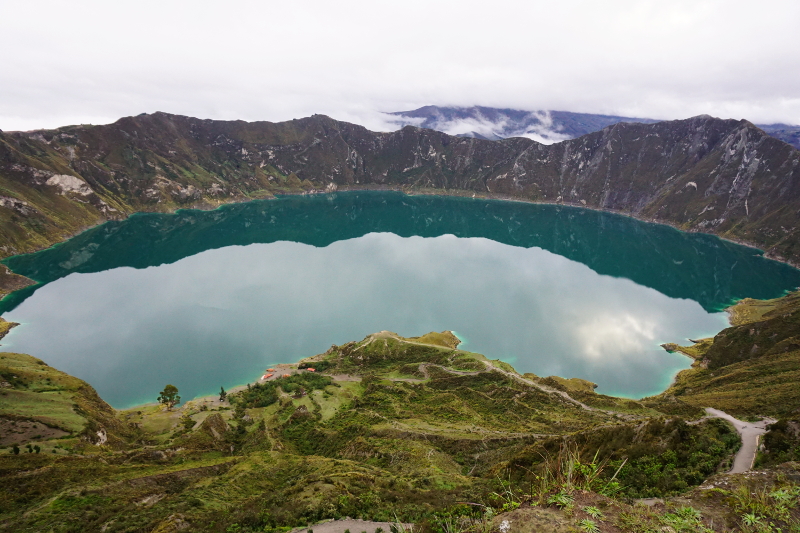
Sheep herders, Quilotoa LakeAt this time, there was no one around town except sheep herders and barking dogs. It was cold and damp and the light was starting to get stronger. It was a short climb up the gravel road when we reached the tip of the crater. We were blown away at the first sight of the lake. The round crater, the turquoise lake and still water with no sound anywhere would be a sight that would live with us for a while to come.
Quilotoa Lake


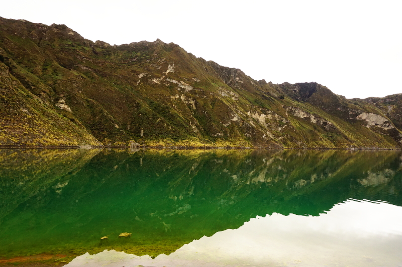
Of course, seeing the lake from afar wasn’t enough. We started descending into the lake and the view just got better. There had been rain during the night and the stairs had a lot of mud. It was a slow walk down for us but one with plenty of stops as we took lots of photos. When we reached the bottom, the sight was beautiful in a distinct manner, the crater walls rose from the turquoise water. It was silent, wind blowing and a few people around. All we could think was “Om Shanti Shanti!”.

Quilotoa Lake

We had chosen this time to come as the clouds stayed away and this was the case. However, the bad thing was that inside the crater the kayak shop was closed making it impossible for us to kayak in the lake. Alas, we had a whole day of walking to do and we decided to walk back to the top. The walk back was tough and we took plenty of breaks. We were above 3500 metres and our hearts were going crazy from the hike and reduced amount of oxygen in the air.

Quilotoa Lake


We checked out the Quilotoa town a bit while I was contemplating buying a woolen poncho. The price quoted to us was $18 for an alpaca wool poncho. It was slightly expensive to Ecuador standards and we decided to look again in Bolivia. Therefore, It was goodbye to Quilotoa, a volcano which could blow up at anytime with an incredibly beautiful lake.

Hike to Chugchilan from Quilotoa Lake

Hike Back to Chugchilan

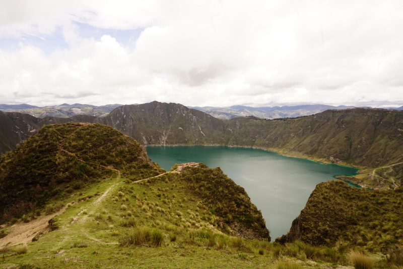
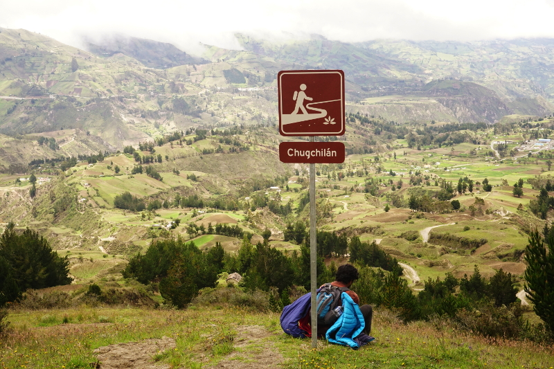
The hike back started well enough. We had to walk on the rim of the crater of the lake and we took some amazing shots. After this the trail got a little confusing. We could see some village at a distance but couldn’t decide which trail would lead to it. A New Zealander couple had a picture book which helped us out. The couple were very annoying and managed to tick me off as well as many others in the area.

Hike to Chugchilan from Quilotoa Lake

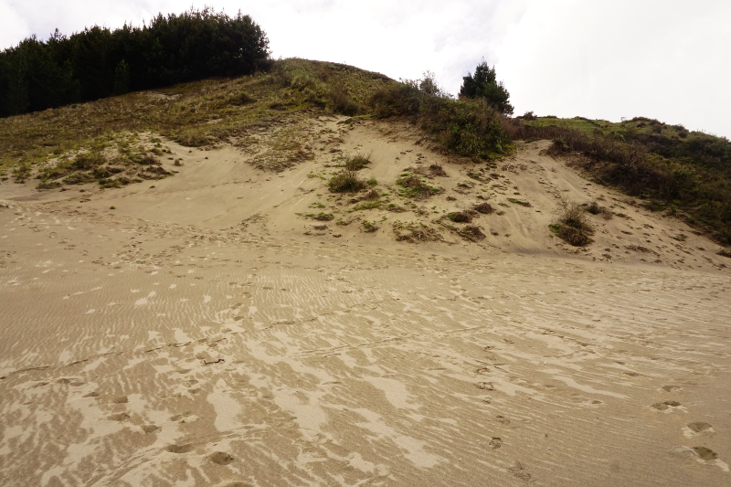
Finally, we were able to find a sandy trail which looked like it could lead to the village. Ecuador can be frustrating in this way as there are no signs on many occasions. We walked on this trail for an hour when we saw some Americans from our hostel who were on their way up. We had 2.5 hours to get back to the village and that made us happy. We had only been happy for 15 minutes when at the edge of the village the heavens opened up.

Hike to Chugchilan from Quilotoa Lake

We entered the village and had a hot chocolate and decided to wait out the weather. We waited for 45 minutes under a volleyball court but to no avail. We saw some kids playing volleyball which surprisingly is a very popular sport in the indigenous parts of Ecuador. At last, the rain stopped and there was sunshine for the next hour.

Hike to Chugchilan from Quilotoa Lake

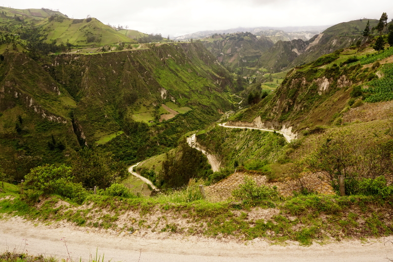
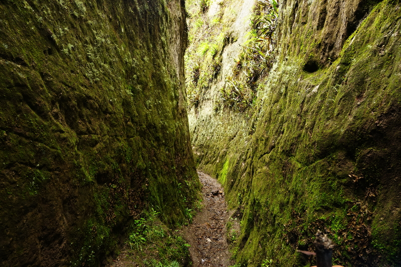
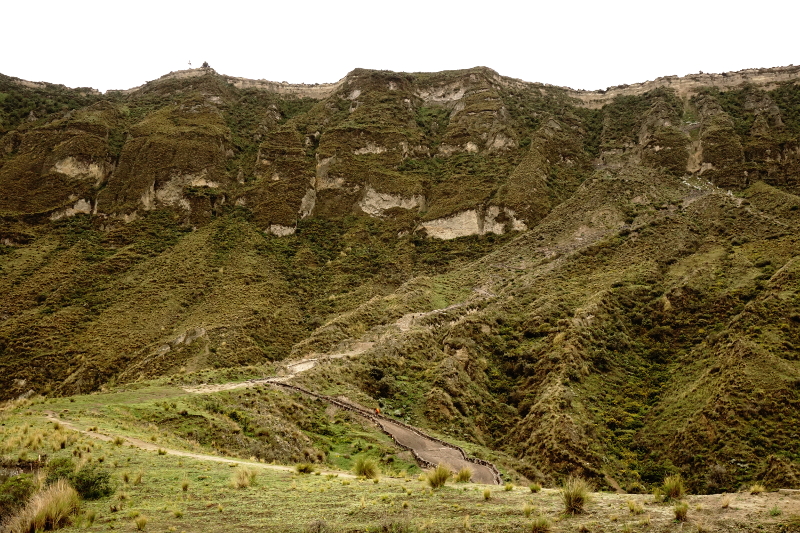
The next part of the trail involved us going down a canyon, crossing a river and climbing up the other side to get to Chugchilan. Sounds simple? Well, it was one of the scariest walks of my life. The trail down the canyon was very narrow, 1.5-2 metres in most places. To add to that, the rain came down at the perfectly bad time when we were already 1/3 down the canyon. We had no choice but to descend. The water came rushing down the mountain. Our protective clothing could not handle the rain and we were soaked in 10 minutes.


Hike to Chugchilan from Quilotoa Lake

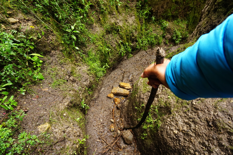
Each step was dangerous as water, mud and rock were all together. Walking a little fast would mean we could slip down the mountain and get hurt. I really felt I had put our lives in danger. Moreover, I was angry at the hostel for not warning us. Most people who do hiking in this area are amateurs with average clothing. Somehow by praying, using sticks and patience, we made it to the river. We crossed the log bridge over a torrent and started climbing the other side.

Hike to Chugchilan from Quilotoa Lake

Thankfully, the other side was not as steep and we walked through farms and mountain roads to Chugchilan. It was such a scary event that we even thanked our walking sticks before we threw them away. A hot shower after the hike really helped. We walked the longest ever and managed to survive a downpour on a mountain. It could have been bad. Phew!

Hike to Chugchilan from Quilotoa Lake

Horse Ride in Cloud Forest

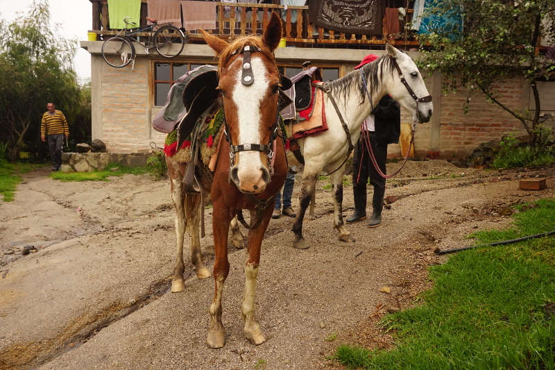
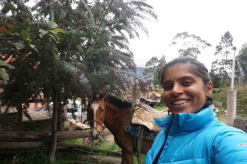
We rested a day and decided not to hike again. Horse riding was a great option as it was less tiring and also first for us. Our guide turned up with the horses at 8 while we finished our breakfast. Our horses were a boy and a girl named Paco and Estrella. We started our ride with our host telling us the basic commands and telling us to concentrate on the view not on the horses.

Horse Riding, Chugchilan

We had only gone for 15 minutes when my horse knew I was a newbie and wouldn’t follow what I said while Shruti’s horse realised that she loved adventure and decided to start galloping without a reason. Anyway, somehow everything was in control and we ascended up the hills above Chugchilan. The view was incredible and the guide was very chatty about the area and the natives of Ecuador.

Horse Riding, Chugchilan

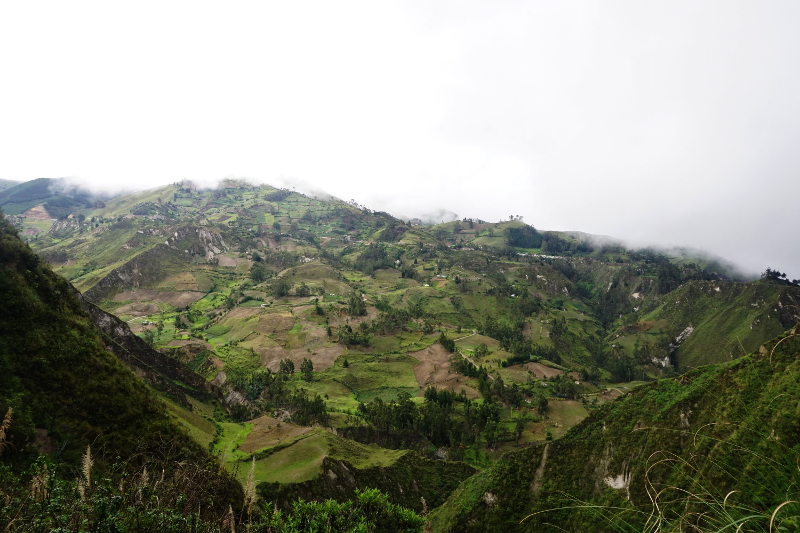
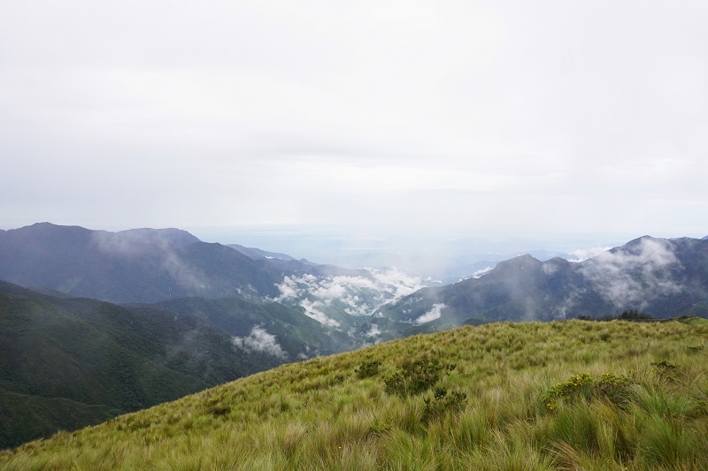
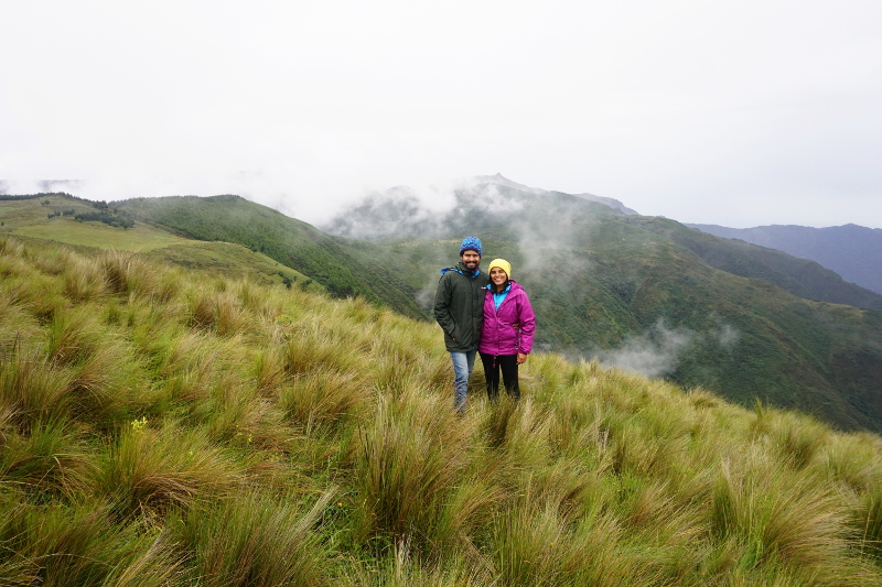
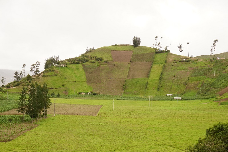
45 minutes later we reached above the tree line and to a view point high above the area. We had a view of all the canyons, rivers, Quilotoa crater and the coastal plains in the distance. We parked the horses to enjoy the view and the guide told us about his area, his people and his family. It was green on each side as the guide told us that there had been a drought here recently and he thought his family would starve. The rain eventually came and he was now positive of a good crop.

Horse Riding, Chugchilan

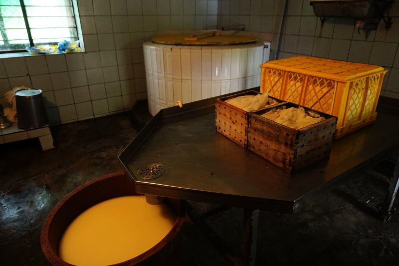
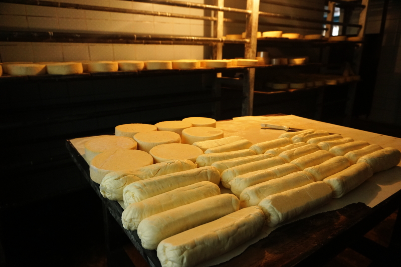
Our next stop was the cheese factory. I had given up trying to guide my horse as it followed our guide only. For 5 minutes, the guide disappeared with his horse. We thought he went to meet family but he actually went to tell the factory manager to get there. Factory was not the right word for few rooms and a cheese cellar. The local farmers gave milk for return of simple cheese whilst the better, older, spicier cheese was for the tourists.

Cheese Factory, Chugchilan

We bought a cheese circle for $5 to give to our hosts in Baños with whom we would be volunteering for next 2 weeks. It was touristy but then again it was a highlight of the area. The rest of the ride, we descended down to Chugchilan. Shruti’s horse was in her own world and stayed 50 metres ahead ready to gallop. The flora changed as we descended with our guide pointing out some trees used locally. The view also changed from mountain to farms. It was really like the Old McDonald song with the cows, pigs and sheep everywhere.

Cheese Factory, ChugchilanFinally, we reached back after a 4 hour ride. I was hungry and my testicles hurt from the ride. The latter was a sure sign I was not riding in the correct posture. Would we do it again? Absolutely!

Horse Riding, Chugchilan

Conclusion

5 days in Chugchilan were incredible. The area is breathtaking and some great hikes can be done here. Cloud Forest Hostal was a great place, so cheap and Jose and his wife being so warm and caring. One of the highlights in Ecuador for us!

Chugchilan, Ecuador

Quito Sightseeing

Quito is the capital of Ecuador which sits at an altitude of 2850 meters. Although the city is not far from the equator, it is still reasonable cold due to the altitude. But if the sky clears up, the heat from the sun can be very harsh.

Getting to Quito

We got to Quito from Otavalo in the north of Ecuador. The bus ride cost was USD 2.5 per person and plenty of buses leave Otavalo for Quito until late.

We had an unfortunate incident on the bus ride, though our amazing insurance company has compensated us for it. If you are traveling or planning to travel in South American countries, we highly recommend you to read our safety while traveling post.

Historic Centre

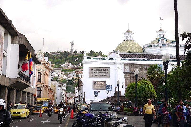
The Historic Centre of Quito is UNESCO heritage listed and is one of the most well preserved colonial cities in Latin America (I think I’ve written that sentence too many times!). While the entire old city is beautiful, there are a few must-sees: The Presidential Palace, Cathedral of Quito, Convento San Fransisco, Basílica del Voto Nacional and Iglesia Compañia Del Jesus.

Historical Centre, Quito

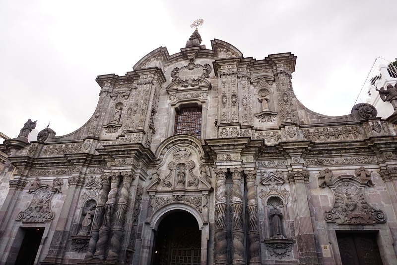
The Iglesia Compañia del Jesus in particular was mind blowing. The altar was huge and gilded with gold leaf. The entire roof and most of the pillars had been painted gold. In addition, the church was a museum of the jesuits order started by St Ignatius of Loyola. We paid $4 per person to enter which was a bit too much but the altar, museum and the paintings were absolutely stunning. There is a wall size painting of hell and heaven which is unbelievable.

Iglesia Compañia del Jesus, Quito

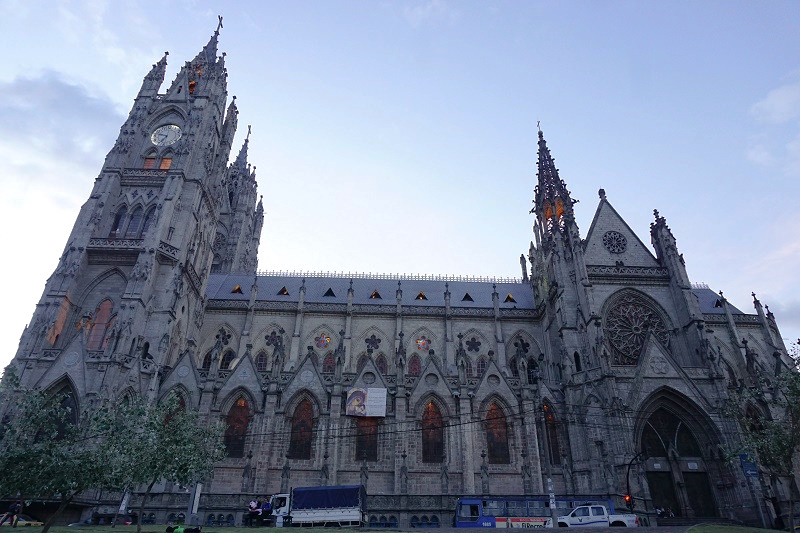
Basílica del Voto Nacional is another spectacular church. It is built on the hill and so is visible from various part of the city. Though we got to the church at closing time, we have only heard of an incredible interior. In fact, the church allows tourists to climb up to the spire for a great view. Definitely something we missed out on!

Basílica del Voto Nacional, Quito

Other than this, all the other mentioned churches and plazas are remarkable as well. During the day, most places are full of people and it is a joy to walk around the old city and take it all in.

Historical Centre, Quito

Mitad Del Mundo

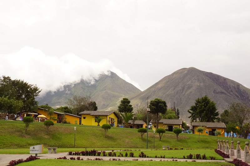
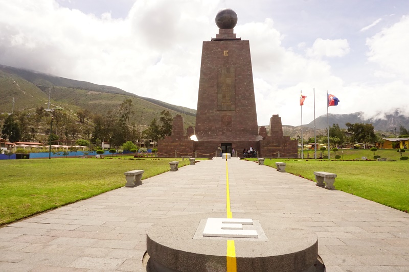
Ecuador literally means the Equator. The equator line passes only a short distance from the city of Quito. Getting to it is quite easy on the MetrobusQ. $0.25 will get you to the Ofelia Terminal in the north of the city where there are lots of bus going to Mitad Del Mundo for $0.25. Whether it had the equator line or not, it was a magnificent area with mountains on all sides and the Volcano Cayambe nearby.

Mitad Del Mundo, Quito

Once we reached there, we were a little confused. The official equatorial monument was a huge precinct with museums, historical sites of the French expedition, restaurants, playing sites for kids and the monument itself. We had heard that this monument was actually inaccurate and there was another museum with the modern current line. However, we could not see it anywhere.

Mitad Del Mundo, Quito

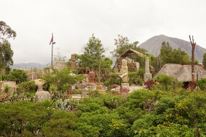
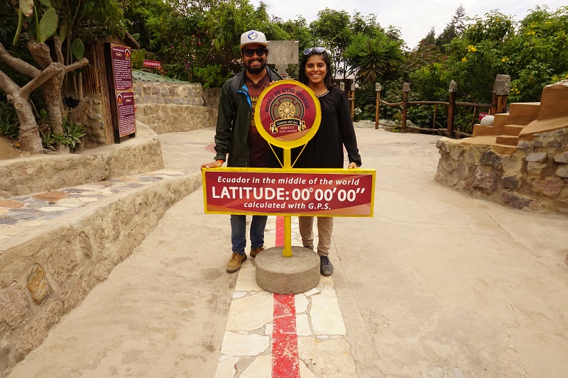
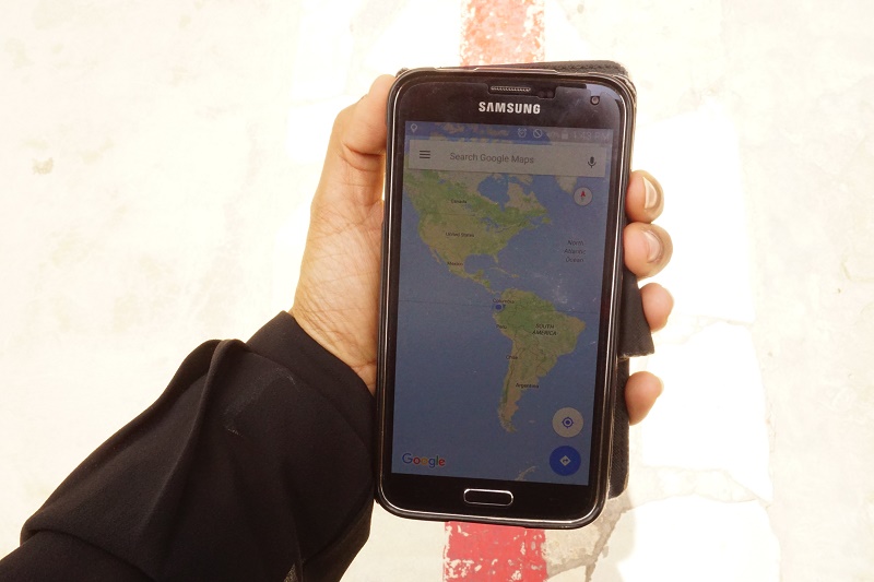
Intiñan Museum, Mitad Del Mundo, QuitoAfter asking the gentleman at the entry, we were told its a little further up the road. We walked to the Intiñan Museum which was the native museum and right on the equator line as proven by GPS. Seen from a distance, the museum looked like a native village with little huts and totem poles from around South America. We paid $4 for the entry and tour in English.

Intiñan Museum, Mitad Del Mundo, Quito

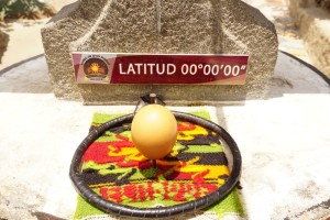
Intiñan Museum, Mitad Del Mundo, QuitoThe tour involved some experiments showing the effects of the equator line and history of Ecuador, its native people and its crops such as coffee and cocoa which originated in Ecuador. Shruti even managed to balance an egg on a nail! After finishing the tour, we bought some post cards with an equator rubber stamp to send home.

Intiñan Museum, Mitad Del Mundo, Quito

Mitad Del Mundo, QuitoFollowing on, we bought entry to the government’s official monument area. It was huge, touristy and very historical. There was a gaint sun dial and the time shown was accurate, obviously! A French expedition in Ecuador found the equator line in the 18th century. While it was an accomplishment for the time, the actual line was 240 metres away. Despite this, the government’s official line is that the equator line is 5 km wide so all the equator memorials in the area are correct. We’ll always believe that we visited the correct line first!

Intiñan Museum, Mitad Del Mundo, Quito

La Mariscal

Our main aim in Quito was to apply for Peru Visa for Shruti. See this post for the outcome :( The Mariscal area was the closest to it. What we didn’t know was that it was a tourist area as well, similar to El Poblado in Medellin. On one hand, we had lots of restaurants to go to and lots of bars to drink in. However, the prices were way high.

Our time in Mariscal was mostly limited to the hostel as we had to plan our next moves post laptop theft and denial of Peru Visa. We did ended up going to a great Indian restaurant in Mariscal, Shere Punjab restaurant. The food was just like home and the tea was to die for. However, we noticed an oversupply of Indian restaurants and Indian bars. So far in South America, we hardly met any Indians so it was surprising. However, we put this down to the illegal immigration where agents make a promise of getting people to US or Europe but leave the potential migrants in a 3rd world country.

One of the nights was the night of Copa Libertadores and the local club, Liga de Quito was playing. Entire Mariscal looked like a Saturday night and it was full of people. We didn’t dare enter a pub but the atmosphere was nail biting and fans partied till late at night on a Wednesday. Go figure!

Transport

The absolute best thing about Quito is its transport system. There are 3 metro lines, Metrobus, Ecovia and Trolleybus. All of them run north to south and have dedicated lane in the middle for it. This makes them a fast option to travel and economical for only $0.25 cent per person per ride anywhere.

PS: sorry for the delay in posts. We didn’t have a laptop for too long and posting from mobile is really tedious. We are now back in the game with a pre-loved laptop. :)

Quilotoa Loop for Everyone?

If you Google ‘Things to do in Ecuador’ and Quilotoa Loop will be on the list. We read about it on various sites and blogs and then decided not to do it! We don’t think Quilotoa Loop is for everyone.

Here is our reasons:

  1. Doing the Quilotoa Loop means leaving your big backpack at a hostel and coming back to get it after doing the loop. The thought of leaving most of our belongings behind for few days not comforting. What if we needed something urgently (I know it doesn’t happen but yea!)
  2. We could do the Quilatoa Loop carrying the big backpack with us. It meant walking with it for 6 hours each day. As if we are fit enough for that!
  3. We are on a holiday and we didn’t see the point in over exerting ourselves. Doing the complete loop meant hiking for 4 days back to back. We would rather hike to our physical ability and relax when necessary.
  4. We are quite particular about some of our clothes, especially because we are only carrying 4-5 sets of socks and undies. So hiking 4 days would mean no clean clothes after the hike and the thought of it was not comfortable at all.
  5. We found plenty of day hike options from Chugchilan, including the Quilatoa Laguna. This option was comfortable and yet adventurous.

Look out for our post about spending 5 days in Chugchilan. There is plenty to do from one location! We saw various parts of the region, almost similar to the Quilatoa Loop experience.